
Larimer County ZIP Coverage
The Larimer County ZIP map returned 26 ZIP codes in the current polygon application. The area clues below are deliberately conservative. The county map exposes a ZIPCODE value, not a complete USPS city or route label, so an exact street address remains the final check.
| ZIP | Areas Covered | Post Office | Notes |
|---|---|---|---|
| 80503 | Longmont area and southeast Larimer edge | Longmont area; verify address | Edge geography, not a county line |
| 80504 | Longmont area and east county edge | Longmont area; verify address | Postal route may cross county context |
| 80510 | Allenspark mountain area | Allenspark | Rural mountain service area |
| 80511 | Estes Park mountain area | Estes Park; verify route | County map did not expose every USPS label |
| 80512 | Bellvue and nearby foothills | Bellvue | Named postal place can be unincorporated |
| 80513 | Berthoud area | Berthoud | Berthoud crosses Larimer and Weld context |
| 80515 | Drake and canyon area | Drake | Rural mountain route |
| 80516 | Berthoud and Longmont edge context | Verify by exact address | Adjacent-county delivery area is possible |
| 80517 | Estes Park valley | Estes Park; verify address | Postal and town geography still differ |
| 80521 | Fort Collins central and west | Fort Collins | Two visible county-map polygon pieces |
| 80524 | Fort Collins north, east, and rural edge | Fort Collins | Postal city can cover county-side parcels |
| 80525 | Fort Collins south and central | Fort Collins | Not a neighborhood boundary |
| 80526 | Fort Collins southwest | Fort Collins | Verify municipality separately |
| 80528 | Fort Collins southeast | Fort Collins; verify labels | County polygon and delivery route can differ |
| 80532 | Glen Haven | Glen Haven | Mountain rural service area |
| 80534 | Johnstown area | Johnstown | Johnstown crosses Larimer and Weld context |
| 80535 | Laporte | Laporte | Historic county-seat context needs care |
| 80536 | Livermore | Livermore | Rural northwestern county |
| 80537 | Loveland central and south | Loveland | Parcel jurisdiction still matters |
| 80538 | Loveland and north Loveland | Loveland | Postal city can span planning areas |
| 80540 | Masonville | Masonville | Rural foothill service area |
| 80545 | Red Feather Lakes | Red Feather Lakes | Rural mountain service area |
| 80547 | Fort Collins and Wellington context | Verify by full address | County map did not expose a USPS city label |
| 80549 | Wellington area | Wellington | Town and rural routes need separate checks |
| 80550 | Windsor area | Windsor | Windsor crosses Larimer and Weld context |
| 80612 | Southeast and adjacent-county context | Verify by full address | Do not read it as an incorporated Larimer place |
The list includes 80503, 80504, 80510, 80511, 80512, 80513, 80515, 80516, 80517, 80521, 80524, 80525, 80526, 80528, 80532, 80534, 80535, 80536, 80537, 80538, 80540, 80545, 80547, 80549, 80550, and 80612. The two visible 80521 shapes matter. A polygon count and a ZIP-code count are not always the same thing.
Larimer ZIP Map Quirks
A county ZIP polygon is useful for orientation, but it is not a USPS delivery guarantee, a municipal boundary, or a resident directory. The Fort Collins codes can cover city and county-side parcels. Mountain codes can use a community or post-office label that does not match an incorporated town. Edge codes can touch adjacent-county geography. Keep the map claim narrow: it shows the county’s mapped shape and ZIPCODE value at the time inspected.
The same caution applies to address-based civic tools. The Larimer County where-to-vote lookup uses an address to return an election location, not a list of people at that address.
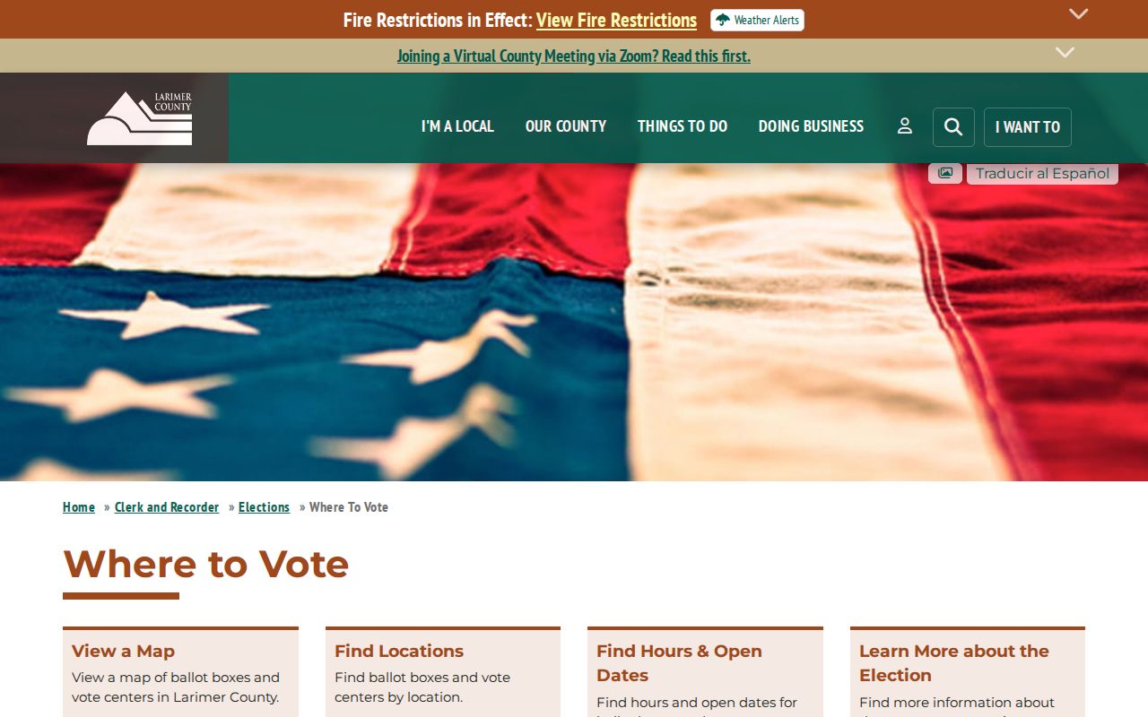
The election lookup image is a reminder that an address can be a search key for a public service without becoming a public household roster.
For 80521, compare the two mapped pieces rather than smoothing them into one unbroken neighborhood. For 80503, 80504, 80516, and 80612, compare the county polygon with the exact postal result. For 80513, 80534, and 80550, check the county and municipal context independently because the place names reach across Larimer and Weld geography.
Larimer ZIP Search Modes
The USPS ZIP Lookup is the right first check for a delivery label. It offers three modes, and each answers a different question. A ZIP on the county map should not be converted into a postal city without the matching mode and an exact address when one is available.
| USPS mode | Fields | Best use and limit |
|---|---|---|
| By Address | Company, Street Address, Apt/Suite/Other, City, State, ZIP | Best for a precise delivery label. USPS warns that a result does not guarantee a real or deliverable address. |
| By City and State | City and State | Shows ZIP choices for a place name. Use an exact street when several ZIPs appear. |
| Cities by ZIP | ZIP | Shows recognized or recommended city names, not the legal limits of a town or county. |
USPS and the county map can therefore disagree without either source being broken. One is a delivery system. The other is a county geography layer. Record the mode, the full address used, the result label, and the date checked.
Finding Larimer Residents by ZIP
A ZIP-keyed resident search is a staged process. A ZIP narrows the place, but the record type decides what a result means. The Larimer Assessor public tables include both SITUSZIPCODE and MAILZIPCODE. The Colorado voter lookup accepts ZIP with a name and birthday. The Recorder search modes documented by the county do not include a ZIP field, so deed work needs a name, reception number, or legal description.
- Check the exact street, city, state, and ZIP in USPS when an address is known.
- Compare the postal result with the Larimer ZIP polygon and note whether the code sits on an edge or has multiple visible pieces.
- Use Assessor situs or mailing fields for a parcel or tax-record question, keeping the two address types separate.
- Use the Colorado voter lookup only with its required name and birthday fields, and treat a no-match as inconclusive.
- Move to a street, parcel, legal description, or person-level source when a ZIP result is too broad.
Once a ZIP narrows the area, the Larimer County by-street records route is the better next step for parcel, deed, permit, and address history work. It preserves the street number and legal description that a ZIP cannot supply.
Larimer ZIP Address Fields
The Assessor’s public data is most useful when its fields are read as separate columns. The Larimer Assessor public-data dictionary lists parcel, account, situs, owner, mailing, sales, improvement, and value tables. The search interface is an assessment tool, not a title opinion, and the county warns that the data is not guaranteed complete, current, or suitable as a title record.
The Larimer Assessor Property Search shows the parcel-search entry point used before a ZIP is narrowed to an address.
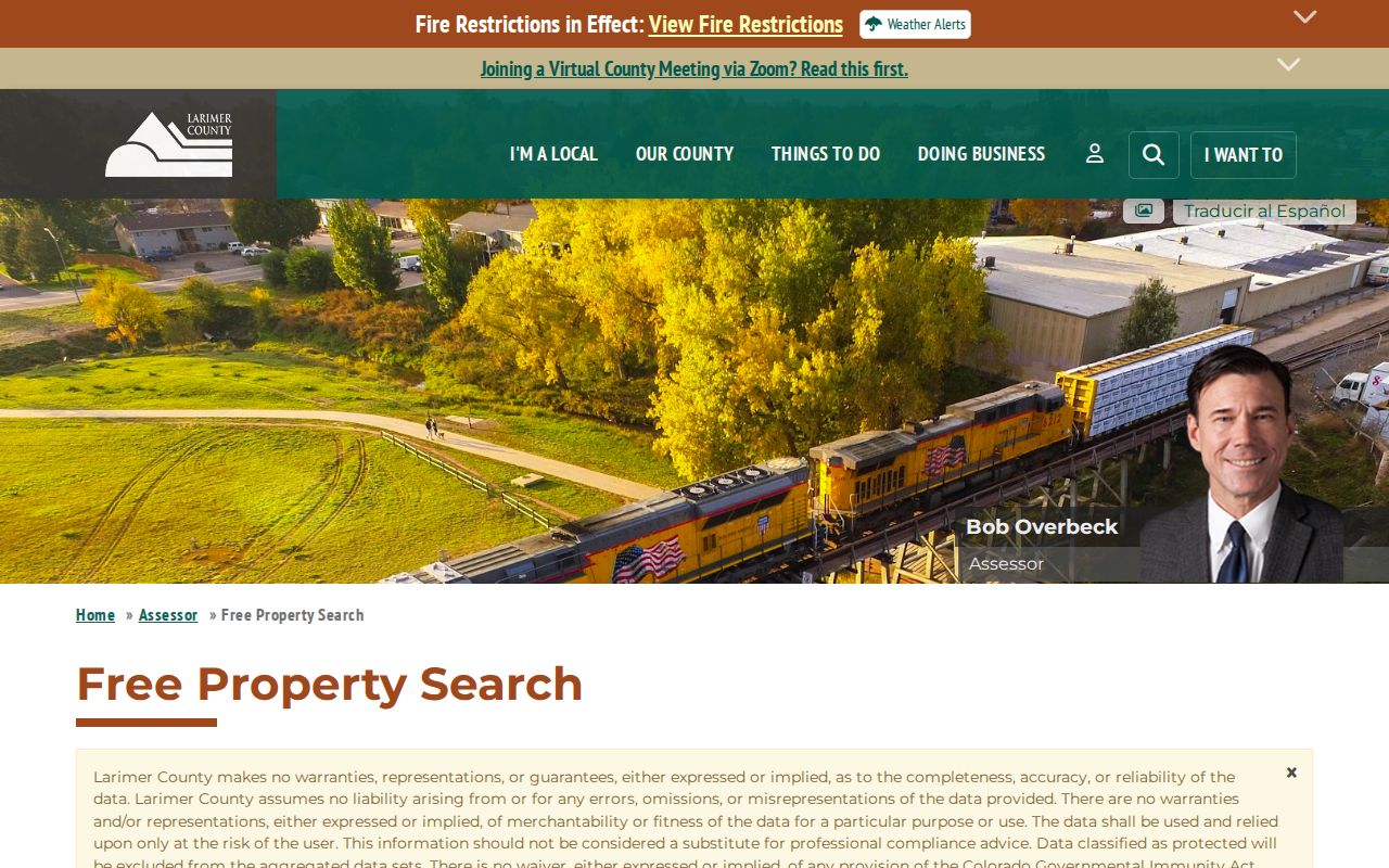
The image connects ZIP research to the parcel record while leaving the ownership and occupancy question open for independent confirmation.
SITUSZIPCODE describes the taxed location. MAILZIPCODE describes where tax correspondence is sent. NAME1 and NAME2 identify the public owner fields, while PARCELNO, ACCOUNTNO, SCHEDULENUM, SITUSADDRESS, subdivision, short legal description, TAXYEAR, and RUNDATE help preserve the record’s identity. Sales fields can add reception number, grantor, grantee, sale price, sale date, and deed code. None of these fields is a complete list of people at a parcel.
Larimer ZIP Code and City Limits
ZIP geography and city geography describe different systems. A mailing city can differ from a municipality. A county parcel can use a rural postal place. A ZIP can cross a city or county edge. The Census explanation of ZIP Codes and ZCTAs makes the distinction clear: a ZIP Code is a USPS delivery construct, while a ZCTA is a generalized statistical geography.
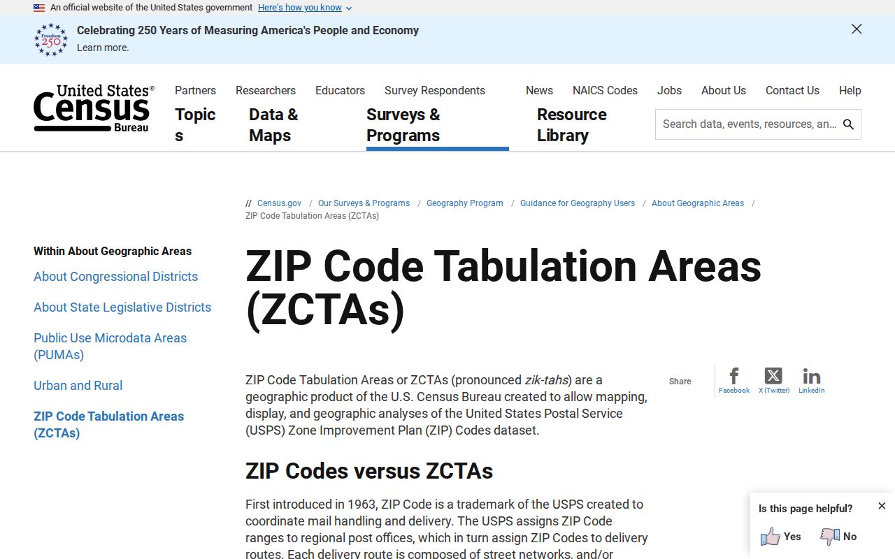
The Census guidance image keeps the delivery code and statistical geography separate before either one is compared with a city line.
The definition box below prevents a broad ZIP label from doing too much work:
- ZIP code
- A USPS delivery-area code used to sort and route mail. It is not a legal city or county boundary.
- ZIP+4
- The extra four digits refine a delivery segment beyond the five-digit ZIP. It does not create a new municipality.
- PO-box ZIP
- A ZIP used for post-office box service. It may not describe the location of a street parcel, and no complete Larimer inventory was confirmed.
- Unique ZIP
- A code assigned to a single organization or special delivery point. A county polygon alone does not prove that a ZIP is unique.
- Carrier route
- A postal delivery route inside a larger ZIP area. It is a delivery concept, not a public list of households.
Boundary check. Use USPS for the postal label, the Assessor for situs and mailing fields, and the municipality or county addressing authority for jurisdiction. Keep those answers in separate notes.
Larimer Mountain and Edge ZIPs
Larimer’s mountain and foothill codes need more care than a city-only search. Allenspark, Estes Park, Bellvue, Drake, Glen Haven, Masonville, Livermore, Laporte, and Red Feather Lakes can appear as postal-place clues for broad rural geography. A postal place can be a community label rather than an incorporated town, and a road can sit in unincorporated territory even when the mailing label sounds like a city.
Edge research has a different risk. 80503, 80504, and 80516 sit near Longmont or the Berthoud-Longmont area. 80513, 80534, and 80550 bring Berthoud, Johnstown, or Windsor into Larimer and Weld context. 80612 appears in the county polygon application with adjacent-county context, and its postal city should be verified rather than guessed. Fort Collins codes 80521, 80524, 80525, 80526, and 80528 should not be treated as neighborhood boundaries.
When the address is historical, save both the old label and the current result. A directory or newspaper may use a former road name, while the Assessor uses a current situs field. A ZIP clue helps locate the search, but the street number, parcel, legal description, and dated source do the identity work.
Larimer ZIP History Caution
No official Larimer ZIP split, realignment, or discontinuation year was found in the research. Do not turn a present polygon into a historical change claim. For a former address, search the period directory or newspaper, check old and current labels in USPS, compare Assessor tax-year fields, and ask the relevant addressing or postal custodian about the change.
Road-name and site-address changes can still explain a mismatch. The county process gives affected owners 45 days to suggest a road name, notifies LETA/E911, the Assessor, and USPS after a decision, and allows delivery to the old address for up to one year. The Larimer road and address-change information describes that transition, but it does not establish a ZIP split.
A dated ZIP result should therefore carry its source type: county polygon, USPS address result, Assessor situs field, Assessor mailing field, voter lookup input, or historical directory label. That small note keeps a delivery clue from being mistaken for a municipal or resident record.
Larimer ZIP Results and Limits
A ZIP code directory can help sort a large county into workable search areas. It cannot identify every person in a ZIP, disclose a household roster, or prove that an owner occupies the situs address. Voter files omit confidential records, Assessor fields separate mailing from situs, and the county map does not provide USPS city labels for every polygon.
For lawful personal research, keep the record purpose visible and use the least amount of personal data needed. Verify a parcel with the Assessor and GIS, verify a postal label with USPS, and send a narrow public-record request to the correct custodian when an online result is not enough. Do not publish a protected address or infer a person’s current presence from a ZIP match.
ZIP work becomes reliable when it ends at the right next source: a street and parcel for property research, a named person and birthday for a voter match, a dated directory for history, or a custodian for a record copy. The ZIP is the narrowing clue, not the conclusion.