
Trace the Larimer County Street Directory
A street address is a crosswalk, not one record key. Preserve the street number, directional prefix or suffix, street type, unit, city label, ZIP, parcel number, and any former spelling before comparing sources. That small capture step matters in a county where a postal place, a municipality, an Assessor situs city, and an old directory label can differ.
The strongest sequence moves from the address to the assessed parcel, from the parcel to a recorded instrument, and only then to sources that provide a person or household clue. The Larimer County street directory works best when each result is labeled by purpose and date.
- Fix the address. Write the full situs label as it appears, including unit and direction. Keep the mailing address in a separate note because tax correspondence can go somewhere other than the parcel.
- Find the owner and parcel. Use the Larimer County Assessor account or Owner Location data to capture the parcel, account, legal description, assessed name, situs fields, mailing fields, tax year, and run date. An assessed owner is not a complete household list.
- Bridge to the deed. Use the Assessor Sales reception number, legal description, subdivision, or owner name to search Landmark Web. Read the instrument category, grantor, grantee, record date, legal description, and image status before calling a transfer a title change.
- Use the voter route with care. The Colorado lookup asks for first name, last name, ZIP, and birthday. It can test a known person and ZIP match. It is not a lawful street roster, and confidential voters or people under 18 may not appear.
- Turn to the historical shelf. A Street Guide, reverse or criss-cross directory, telephone book, newspaper, or Sanborn map can add a dated household clue. The full collection history is in the Larimer County city directories section, where gaps and repository differences are separated from current parcel records.
Larimer County Street Directory Record Sets
No single Larimer County street directory contains every person connected with an address. Each record keeper answers a narrower question. The Assessor ties a situs and mailing field to a tax account. GIS supplies shape and map context. Landmark Web supplies an index to recorded instruments. Permit systems name record participants. Election data has its own match and confidentiality rules.
| Record set | Address key | What it can show | Access route |
|---|---|---|---|
| Assessor Account and Owner Location | Situs fields, parcel and account | Assessed name, mailing location, legal and tax fields | Public data tables |
| Enterprise GIS | Parcel, road, lot and map feature | Parcel shape, subdivision, platted blocks and an Assessor link | Interactive viewer |
| Landmark Web | Reception number or legal description | Grantor, grantee, record date, type and legal description | Free index; image access varies |
| Citizen Self-Service | Street number and first street-name letter | Permits, plans, projects, applicants, owners, contractors and public attachments | County portal |
| Voter lookup and reports | Name, ZIP, birthday or precinct | A registration match or aggregate election geography | Colorado lookup; county request |
| Directories, maps and newspapers | Street, address, year or legal clue | Dated household, building, business, or event evidence | Library, museum, society, or digital collection |
The parcel number is the useful bridge among current sources. Still, a permit applicant may differ from an owner, a grantor may differ from a grantee, and a directory listing may identify a household member rather than a title holder. Preserve the source, date, and exact field instead of collapsing these roles into one name.
Larimer County Assessor Fields by Street
The Larimer County Assessor Property Search is the starting point for a parcel question, while the public-data dictionary gives the most stable field names. Account, Owner, Owner Location, and Sales tables should be read together. The data is for assessment purposes, is not guaranteed complete or current, and is not a title record.
The following field groups turn a street address into a repeatable record check. Preserve spelling and blank values. A missing unit, direction, or mailing line can change which parcel or person a later search returns.
| Field group | Exact public fields | Street-directory use |
|---|---|---|
| Situs components | SITUSSTREETNO, SITUSPREDIRECTION, SITUSSTREETNAME, SITUSSTREETTYPE, SITUSPOSTDIRECTION, SITUSUNIT | Normalize the street label before comparing records. |
| Full situs | SITUSADDRESS, SITUSCITY, SITUSZIPCODE | Locate the taxed parcel and keep postal and municipal labels distinct. |
| Owner and mailing | NAME1, NAME2, MAILADDRESS1, MAILADDRESS2, MAILCITY, MAILSTATE, MAILZIPCODE | Identify the assessed correspondence record, not a current occupant. |
| Parcel and legal key | PARCELNO, ACCOUNTNO, SCHEDULENUM, MAPNO, SUBNO, SUBDIVISIONNAME, SHORTLEGALDESCRIPTION | Carry a stable parcel or legal clue into GIS and Landmark Web. |
| Time and sales | TAXYEAR, RUNDATE, RECEPTIONNO, GRANTOR, GRANTEE, SALEPRICE, SALEDATE, DEEDCODE, DEEDDESCRIPTION | Use the tax run for timing and the reception number as the deed bridge. |
The most important split is situs versus mailing. Situs locates the parcel. Mailing tells where tax correspondence is sent. Neither is an occupant roster, and neither alone proves that a person is present at the address.
The public-data screen makes the Larimer County address crosswalk more precise because a search can be repeated with the same account, parcel, and field names.
The Assessor public-data view shows why a street record should preserve both location and ownership fields instead of treating them as one address.
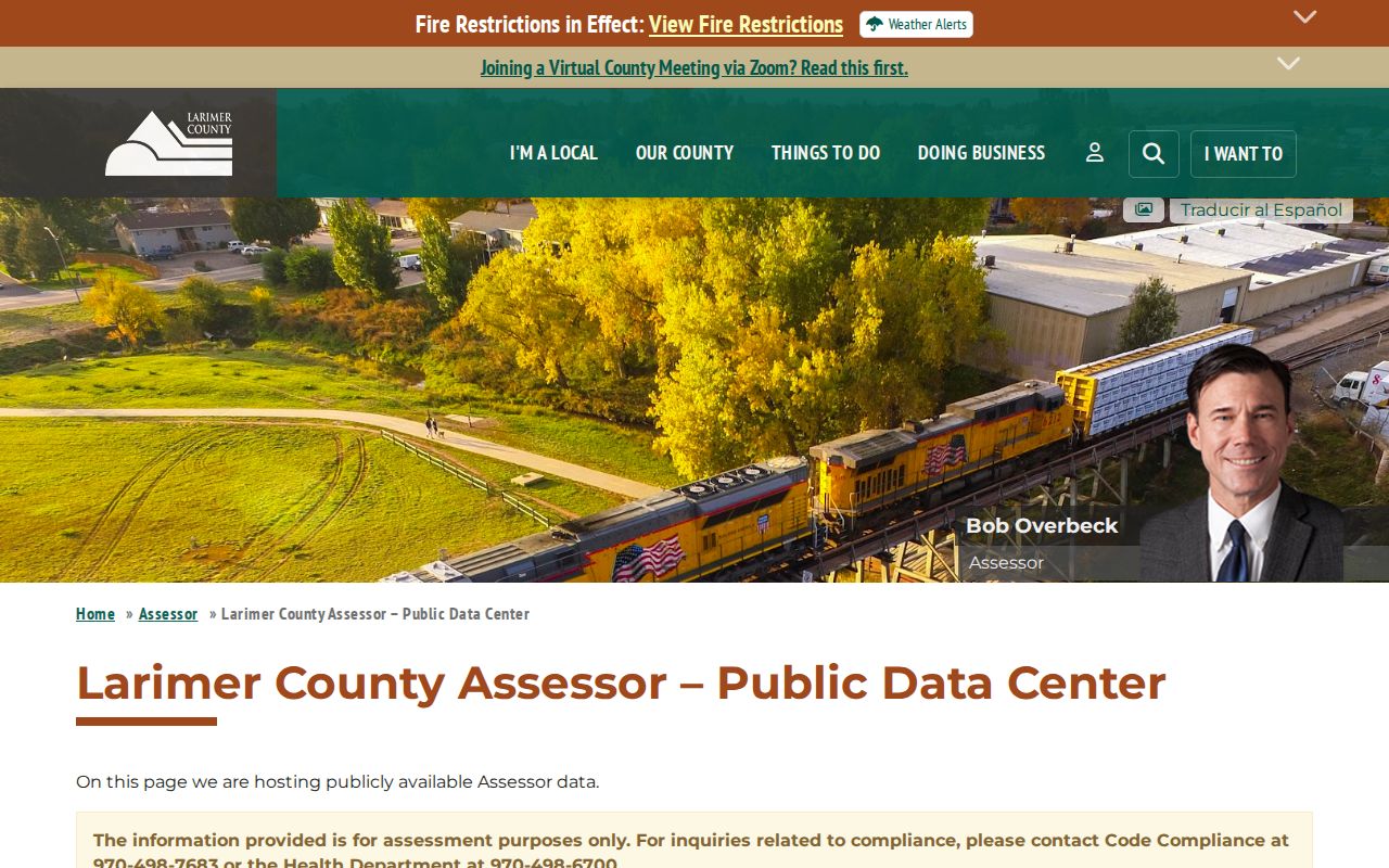
This public-data view is a field reference for the parcel-to-owner step. It does not turn assessment information into proof of occupancy or title.
Map a Larimer County Address
The Larimer County Enterprise GIS viewer supplies the map context that a table cannot. Turn on Parcels, Addresses, Tax Parcels, Subdivisions, Platted Blocks, and Platted Lots. The documented layer set also includes sales from 7/01/2011-current, HOA, severed mineral rights, and recorded dimensions.
Use Identify on the subject feature. A result can expose an owner name, account, and Assessor link. Save the parcel number and then inspect adjacent polygons one at a time. The current research did not confirm an automatic radius or buffer report, so a map browse is not the same as a generated list of everyone within a distance.
A GIS parcel is spatial evidence. It can show road and lot relationships, but it does not disclose who occupies a building, and an HOA layer does not supply a public member list.
The official Larimer County parcel viewer is most useful when the street name, lot line, and legal description do not line up at first glance.
The map image illustrates the visual parcel step. Every map hit still needs an independent Assessor or Recorder check.
Larimer County Deeds Behind a Street Directory
Landmark Web does not have a documented simple street-address search. Start with the Assessor parcel, subdivision, lot and block, short legal description, or Sales reception number. Then use the Larimer County Clerk & Recorder Landmark Web index to test the legal, name, reception, book and page, document, or record-date modes.
The Recorder navigation guide gives practical controls. Name searches offer Starts With or Contains, last and first name fields, date range, document category, and a result count that can rise from 100 to 2,000. Legal searches accept subdivision or text. Advanced Legal adds lot, block, subdivision, section, township, and range. Reception Number uses an 11-digit format for 1 January 1985 to present; older numbers follow older formats. Book and Page require both fields, with page 1 returning all pages for a book.
A result row can show reception number, record date, document type or code, grantor, grantee, legal description, and a book/page-style reference. The row is an index pointer, not a complete title opinion. Registered users may see a watermarked image, while an unwatermarked image or download can require payment.
Note: Landmark Web coverage is published as 1971-present on Easy Access and 1939-present in the navigation guide, so older searches need Recorder confirmation.
The Landmark Web navigation guide shows how the address crosswalk becomes a legal-description search.
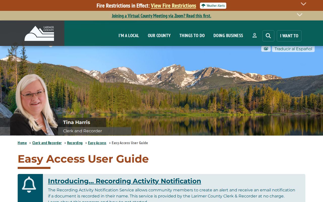
The guide image belongs beside the deed step because it identifies the search modes and filters, not because it supplies a current resident list.
Larimer County Permits by Street Address
Larimer County Citizen Self-Service provides another address-to-record path. Its location search uses a street number and the first letter of the street name. Select the matching address or parcel, apply the search, and sort results by relevance, plan, project, or apply date.
Public attachments can include issued permits and approved or final documents. The record may name an applicant, owner, or contractor and may include a project number, inspection, plan, or date. Those roles describe a permit event. They do not establish that a named person lived at the parcel.
Jurisdiction matters. The county system covers county material, while Fort Collins and Loveland maintain separate municipal permit and planning eras. Fort Collins divides its electronic history between Citizen Access from May 2018, Weblink for roughly the earlier 1930s to 2018 range, and local-history repositories for older plans. An address in an incorporated place may therefore need a city route as well as a county route.
The county portal's location controls are captured here for the address-record portion of Larimer County research.
The screenshot reflects an address and project search path. It should be read with the county or municipal jurisdiction check.
Larimer County Address Record Terms
Four terms keep an address search from drifting into unsupported conclusions. They describe how records are organized, not how many people are at a property.
- Parcel
- A tax-mapped land unit tied to an account or parcel number. A parcel may contain a structure, vacant land, or more than one address context.
- Situs address
- The location assigned to the taxed property. It is separate from the owner's MAILADDRESS fields and is not a list of people present there.
- Plat
- A recorded map that describes a subdivision, lot, block, road, or related land layout. It helps translate an old legal description when a modern street label fails.
- Criss-cross directory
- A historical reverse directory arranged by street or address instead of only by name. It supplies a period clue and is not a current census.
Address Changes in Larimer County
County addressing applies mainly to unincorporated territory. The county addressing office can be reached at Larimeraddressing@larimer.gov and 970-498-5022. Fort Collins, Johnstown, Loveland, Timnath, Berthoud, Estes Park, Wellington, and Windsor may assign municipal addresses, so the local authority should be checked at boundary roads.
For a duplicate, similar, or unnamed private drive, the county gives affected owners a 45-day period to suggest a name. If no majority choice is made, the county selects one and sends notice to LETA/E911, the Assessor, and USPS. USPS may continue delivery under the old address for up to one year. The September 2025 Road Naming and Site Addressing Resolution formalizes this unincorporated process.
These rules explain why a historical directory number can look wrong beside a current GIS label. Preserve both labels, record the source year, and test the former spelling in the Recorder, newspaper, and map sources rather than silently rewriting it.
Note: A former address can be a valid historical label, so preserve old and new names when a Larimer County street record changes.
Postal Clues for Larimer County Addresses
The USPS ZIP Lookup is the exact-address check for company, street address, apartment or suite, city, state, and ZIP. Its By City and State and Cities by ZIP modes are useful for orientation, but USPS recommends an exact address when several ZIP codes or city names are possible. The service also warns that a result does not guarantee a real or deliverable location.
A postal city is not necessarily an incorporated municipality. Larimer's map includes plains, foothill, canyon, and mountain service areas. A rural parcel can use a named post-office place while the Assessor's SITUSCITY and the owner's MAILCITY answer different questions. Edge ZIPs can touch adjacent-county geography, and the county map exposes ZIPCODE without a complete USPS city label.
For a by-street check, preserve three separate values: the USPS result, SITUSZIPCODE, and MAILZIPCODE. A Colorado voter lookup uses ZIP as part of a person match, while Citizen Self-Service is street-number based. None of these systems turns ZIP geography into a municipal or household boundary.
Rebuild an Older Larimer County Address Trail
Older street research changes the order of trust. Fort Collins city directories begin in 1902, but no known city volumes cover 1941-1947. Telephone books fill part of that span. The 1904, 1906, and 1907 Fort Collins volumes lack a Street Guide, so the alphabetical, Business, Rural, and nearby-year sections become the better test.
Loveland directories cover most years from 1904 onward. Poudre Libraries hold Fort Collins newspapers from March-November 1874 and June 1878-present, Sanborn maps printed from 1886-1940, and digital Sanborn access from 1867-1970. A newspaper date, a map footprint, a directory address, and a legal description can turn a failed modern address match into a documented lead.
County history adds another label change. The county seat moved from Laporte to Fort Collins in 1868, and county business, records, and the jail moved with it. When the question shifts from an entire street to one person, use the Larimer County resident lookup workflow and keep the historical source citation beside the modern check.
Limits of a Larimer County Street Directory
Public address records have firm edges. The Assessor can show an assessed name and mailing location, but not every person who uses a building. GIS can show parcels and map links, but not a household roster. A voter match requires a known person, ZIP, and birthday, and county election reports are aggregate or precinct based. Confidential voters and protected participants may be omitted.
Recorder images, vital records, court material, and motor-vehicle information have their own access rules. The Colorado Address Confidentiality Program and Larimer voter-record confidentiality process can change what is visible. A no-result may mean a source is outside its date range, a name differs, a record is protected, or the source never indexed the event.
Lawful use. Larimer County address and parcel records are for personal, lawful research. Do not use a street or parcel record to stalk, harass, intimidate, or harm anyone.
A careful result states the record type, source date, jurisdiction, and uncertainty. That is the difference between a useful Larimer County address crosswalk and an unsupported claim about a person.