
Larimer County Neighbor Sources
A block lookup is strongest when each source is tied to a specific question. The Larimer Enterprise GIS viewer shows parcels, lots, roads, and map-linked account clues. The Assessor describes tax records. The Clerk & Recorder describes recorded instruments. Election reports describe precinct geography. Neighborhood and planning resources add context, not private membership lists.
| Source | What It Shows About a Block | Access |
|---|---|---|
| GIS parcel viewer | Subject and adjacent polygons, addresses, lots, subdivisions, and an Identify link | Public interactive map |
| Assessor Owner and Owner Location | NAME1/NAME2, parcel or account, situs, mailing fields, sales, and tax-year data | Public property search and tables |
| Recorder Landmark Web | Grantor, grantee, reception number, legal description, date, and instrument type | Public index; images vary |
| Voter lookup and reports | Name match or aggregate county, district, and precinct context | Public lookup and county request |
| Valuation neighborhood map | Assessor valuation-neighborhood number and geographic context | Public county map; not a roster |
| Planning and civic resources | Plans, projects, grants, public meetings, and district governance records | Municipal or county records |
None of these rows is a guaranteed list of everyone who lives on a block. An assessed owner can mail tax notices elsewhere. A deed party can be a trust, estate, lender, or former owner. A neighborhood label can describe planning or valuation geography. Neighbor research is a chain of bounded clues, not an automatic export of people.
Map Larimer County Neighbors
The adjacent-parcel method is visual and deliberate. The GIS research identifies a subject parcel, then treats each adjoining polygon as a separate record. The current viewer documents map layers and Identify, but no confirmed radius, buffer, or automatic neighbor export was found. Do not substitute a distance estimate for the boundary shown on the map.
- Locate the subject address, parcel, or map bookmark in the Larimer GIS viewer.
- Turn on Parcels, Addresses, Tax Parcels, Subdivisions, Platted Blocks, and Platted Lots.
- Use Identify on the subject and each adjoining polygon, recording the parcel or account number.
- Save the legal description, situs address, subdivision, lot or block clue, and the map date.
- Open the Assessor record for each parcel, keeping NAME and MAIL fields separate from SITUS fields.
- Inspect the Recorder independently when a deed, lien, or legal-description question remains.
The viewer also documents Sales from 7/01/2011 to the current layer, HOA, severed mineral rights, and recorded dimensions. Those layers can explain the shape or history of a block, but an HOA layer is not a member directory and an adjoining polygon is not proof that two parcels share an owner.
For a whole named street, use the Larimer County by-street records route. Neighbor research stays focused on the immediate block and hands the longer street chain to the address workflow.
Compare Larimer County Records
Each adjacent parcel deserves the same three-part check: map, tax, and recorded instrument. Start with the GIS account or parcel clue. Read the Assessor Owner and Owner Location fields. Then follow a reception number or legal description into Landmark Web when a transfer question matters. The Assessor public tables include parcel, account, schedule, situs street number and direction, street name and type, unit, city, ZIP, subdivision, short legal description, NAME1, NAME2, mailing fields, sales, deed code, and tax-year fields.
Mailing and situs answer different questions. MAILADDRESS1, MAILADDRESS2, MAILCITY, MAILSTATE, and MAILZIPCODE show a tax correspondence destination. SITUSADDRESS and its component fields locate the taxed parcel. A person who owns one parcel can receive mail at another address. A parcel can sit in a county or municipal setting while using a postal city that suggests something else.
The Recorder adds grantor, grantee, reception number, record date, document type, and legal description. Its index is a pointer to an instrument, not a complete title opinion. Review the image or request the record when legal effect matters. A neighbor lookup should preserve those distinctions rather than flattening every name into a current household claim.
Larimer County Neighbor Parcel Clues
Subdivision and lot layers help explain why a block does not always follow the street grid. Larimer GIS documents Parcels, Subdivisions, Platted Blocks, Platted Lots, recorded dimensions, sales, HOA, and severed mineral-rights layers. The Recorder’s Advanced Legal search uses Lot, Block, Subdivision, Section, Township, and Range fields, with partial entries allowed. That crosswalk is useful when a current street number does not match an older legal description.
Use the neighborhood or subdivision name as a cross-check only. It can help spot a shared plat, a road association, or a historic boundary, but it does not prove common ownership or membership. The same subdivision can include several owners, mailing destinations, public roads, private drives, and parcels with different records.
- Parcel
- A mapped tax or land unit tied to an account or identifier. It is not automatically one home or one household.
- Situs address
- The location assigned to the taxed parcel. It is different from an owner’s mailing address.
- Platted lot
- A lot shown on a recorded subdivision or plat. Its legal description can outlast changes to street names.
- Identify result
- A map feature response that can expose an account, owner clue, or Assessor link for independent review.
Larimer County Neighbor Planning Areas
Planning geography can make a block understandable without turning it into a private directory. Fort Collins City Plans use Downtown, East Mulberry, Mountain View, Northside Neighborhoods, Northwest, Old Town Neighborhoods, and West Central as planning geographies. Fort Collins Neighborhood Services offers civic programs, grants, and block resources. Neither is a public list of every resident or a member roster.
The Larimer Residential Valuation Neighborhood Map reveals a valuation-neighborhood number rather than an association or occupant list.
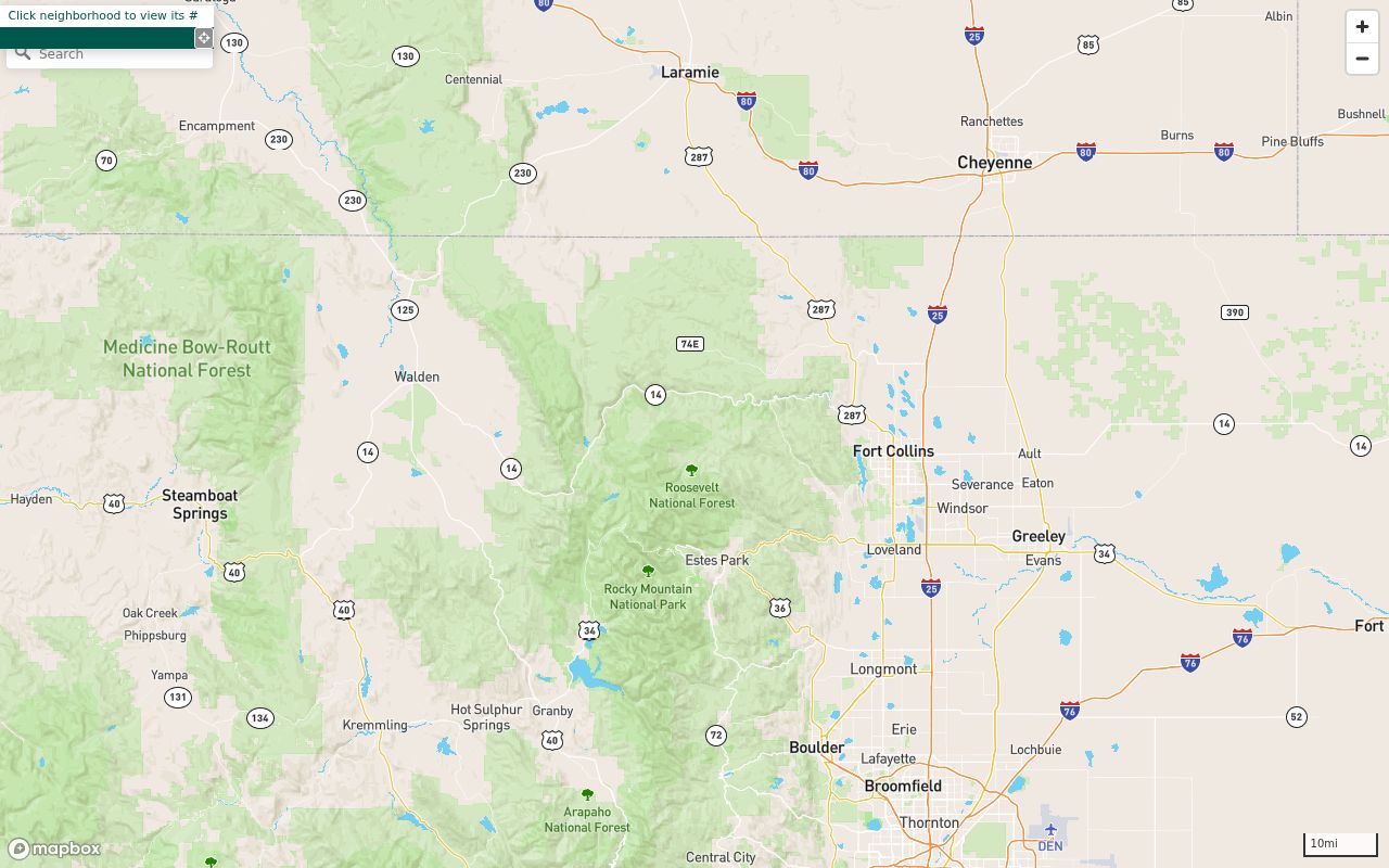
The map image shows why a planning or valuation label is best used as context around the parcels, not as proof of who lives in them.
| Resource | Useful block context | Boundary |
|---|---|---|
| Larimer valuation-neighborhood map | Valuation-neighborhood number and geographic setting | No association, member, or occupant roster |
| Fort Collins Neighborhood Services | Civic programs, grants, and block resources | Programs do not establish all households on a block |
| Fort Collins City Plans | Planning geographies and neighborhood-scale policy context | Planning area is not an ownership boundary |
| Loveland Current Planning | Annexations, rezoning, site plans, subdivisions, and public notices | Older files or municipal records may need a request |
| Larimer addressing resources | County or municipal jurisdiction, road names, and site-address context | County addressing mainly covers unincorporated territory |
Larimer County Neighbor District Context
Public governance documents can explain services around a block, but they are not private rosters. Larimer’s subdivision and road-name information notes that a non-county-maintained road may be the responsibility of a resident association or similar entity. That statement helps identify the kind of custodian to ask about road services. It does not disclose the association’s members.
Loveland metropolitan-district service plans name public districts including Brands West, Cascade Ridge, Centerra, Centerra South, Deer Meadows, Eagle Brook Meadows, Foundry, Lakes at Centerra, Lakeview, Lee Farm, Loveland Midtown, Parkside, Reservoir’s Edge, South Village, Taft Ridge, Van de Water, Waterfront, and West Boyd. Some listed districts are dissolved. Board documents and service plans can identify public governance history, project boundaries, and assessment context.
When a district, subdivision, or road association appears beside an adjacent parcel, confirm the parcel and legal description independently. A governance document can show that a public entity exists or once existed. It cannot be used as a private household or membership list.
Larimer County Neighbor Voter Limits
The Colorado voter lookup asks for a person’s First, Last, ZIP, and Birthday. It is a person-level registration match, not an automatic block roster. Larimer Elections reports DP-002, DP-003, VR-011, EX-004, maps, and custom research by county, district, or precinct. Those reports can describe election geography and aggregate participation, while confidential records are omitted.
Public voter fields may include name, residential address, party and party date, phone if provided, gender identity if provided, birth year, and prior participation. Social Security number, driver-license number, month and day of birth, signature, and email are confidential. Revised results and redacted cast-vote records do not reveal a named person’s vote choice. Use the Larimer Elections data-request route for an authorized report question, and do not turn an aggregate precinct file into a claimed household list.
For a historical block, city directories, census material, newspapers, and local archives are better clues. A current registration match can change, be withheld, or reflect a different record date. Label the date and source before comparing it with parcel data.
Larimer County Neighbor Address Changes
Address changes can make two neighbors look farther apart in different records. County addressing applies mainly to unincorporated territory, while Fort Collins, Loveland, Berthoud, Estes Park, Johnstown, Timnath, Wellington, and Windsor can assign municipal addresses. A county tax-parcel address is not necessarily the same as a mailing label or city planning address.
For duplicate, similar, or unnamed private drives, the county process gives owners 45 days to suggest a road name. The county can choose a name if no majority agreement emerges, then notify LETA/E911, the Assessor, and USPS. USPS may continue delivery to the old address for up to one year. The September 2025 Road Naming and Site Addressing Resolution explains why a former neighbor record can use a different street label without being a different parcel.
Preserve the old and new labels together. Search the map and Assessor by parcel or legal description when possible, then use directories, newspapers, plats, and recorded instruments for the dated address trail. A current street search should not erase the historic form of the block.
Larimer County Neighbor Privacy
Official records and generic commercial neighbor tools are not interchangeable. Official records have a stated custodian, field purpose, update pattern, and access rule. A commercial tool may combine public fragments, charge for access, or show an old association without a clear record date. Neither category should be treated as proof of a current occupant.
| Source type | Strength | Limit |
|---|---|---|
| County parcel and Assessor records | Parcel, owner, mailing, situs, sales, and tax fields from named public systems | Owner is not automatically an occupant; assessment data is not a title guarantee |
| Recorder and planning records | Recorded instruments, legal descriptions, projects, notices, and public governance context | Index rows and applicant names do not describe every household |
| Generic commercial neighbor tools | May offer a broad convenience search or combined clue set | Source date, accuracy, cost, correction route, and lawful-use limits can vary |
Lawful personal use. Use Larimer County neighbor records for lawful block research, family history, civic understanding, or ordinary safety awareness. Do not use parcel, voter, planning, or registry fragments to stalk, harass, intimidate, threaten, or harm anyone.
Colorado’s Address Confidentiality Program and Larimer voter-record confidentiality can remove or substitute protected location information. Recording redaction has its own request route. Public government data is also handled differently under the Colorado Privacy Act, so there is no universal request that erases every county parcel or Recorder record. Ask the actual custodian about access, correction, or protection.